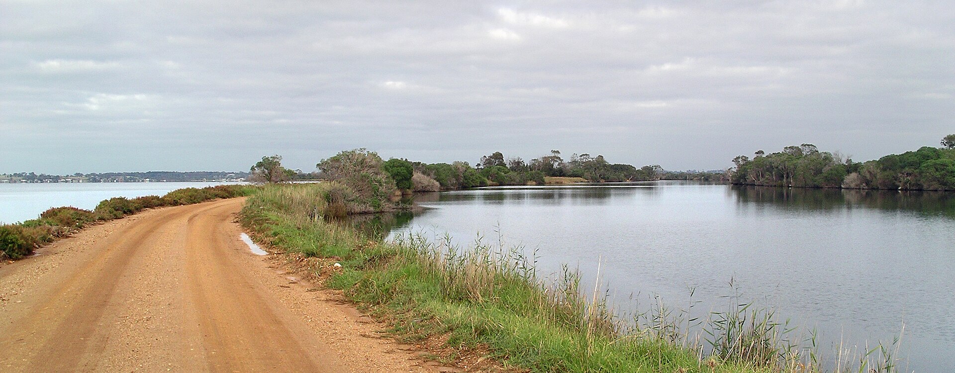
The Mitchell River silt jetties are one of the most unusual landforms in Australia. Over thousands of years, silt carried down the Mitchell River has built two long, narrow banks that carry the river more than eight kilometres out into Lake King.
How they formed
When the river runs low, sediment settles along its edges. When it floods, the water pushes through and carries the silt further out. The result is a long, thin delta of a type called a digitate delta, and an unusual sight anywhere.
Visiting
You can drive along the south bank from Eagle Point all the way to Point Dawson at the tip, with lake on one side and river on the other. Along the way are spots to stop, fish and picnic, and plenty of waterbirds.
- Bring a fishing rod; the river and lake meet along the way.
- Take a picnic and binoculars.
- Go on a still, clear day, when the water is flat on both sides.
Getting there
Eagle Point is between Bairnsdale and Paynesville, about 25 to 30 minutes from Metung. Combine it with the Raymond Island koalas and lunch in Paynesville.
Questions guests ask
Can you drive on the Mitchell River silt jetties?
Yes. A road runs along the south bank from Eagle Point to Point Dawson at the tip.